
I bet a lot of you know about google map, and use it very frequently for daily life. Google map is online mapping service that do the calculation, analysis mainly through geocoding. Geocoding is an algorithm that based on location and zip code. Google provides the awesome products and mapping services like satellite imagery (base map), google earth, street map and 360 panoramic street view, google traffic. You might have noticed that recently google just add biking and flight functions to Google map, and now you could easily estimate the traffic time by bike and flight besides walking, public transportation and driving. It’s so shame that google products are blocked in China, including google map. Anyway, the only motivation get me writing more blogs about geo-sicence stuffs just because my ideal job for my future career is become a geospatial analyst and cartographer. Google map we’re talking about here, it is already a final product of geospatial analysis. But as a geospatial analyst or GIS specialist, we are looking for pulling different spatial/non-spatial data for another exciting analysis everyday, and finally get people to use and benefit from it.
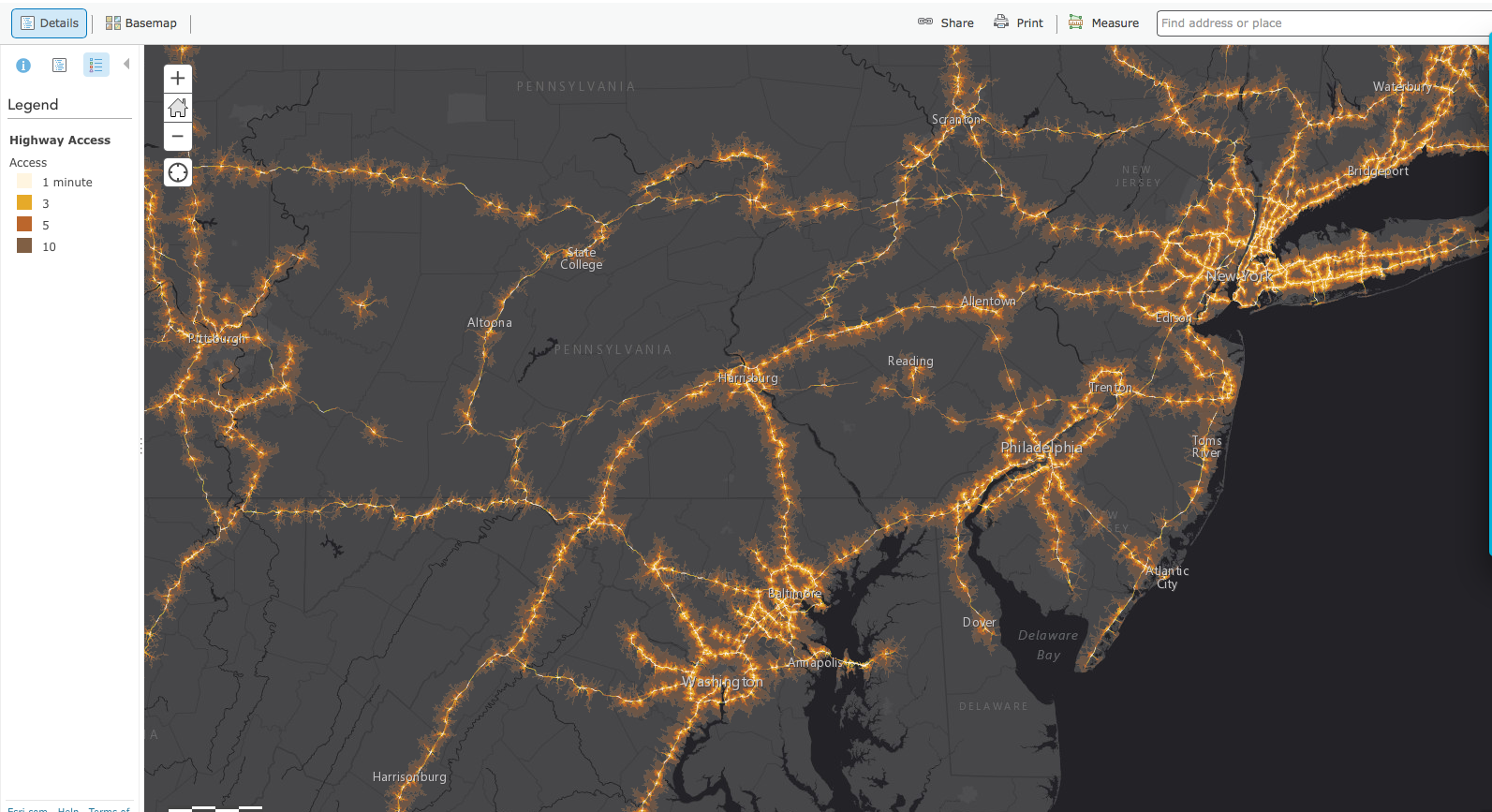
(Ready to use provide by ESRI web map)
- Sharing and presenting spatial analysis products could get immediate feedback from users, this is first thing make web GIS a big thing in the future. It’s all about how users feel and like it. From user/costumers preference on different function of the maps, the dives they use for the map, the engineer and analyst behind the service could improve the products largely;
- Much easier to share data and results, and as a geospatial analyst, who could also access, analyze and edit the geo datasets whenever and wherever they have internet;
- More and more open source spatial data are available online, and it’s became very powerful and easy to use online GIS analyzing tools, e.g. ArcGIS Online, GeoNetwork for the analysis;
- Online mapping tools could be used to make much appealing maps. If you are a heavy user of ArcGIS desktop, you would know how painful when your calculation could not be done because of some minor issues, and how much space the ArcGIS desktop takes up your PC and lap top. If you’re not have a cartography background or not that familiar with map displaying, your map products could end up looking like an disaster, which is my own experiences;
- Geospatial community is more like a open and sharing community, and there are already lot of geo experts engaged in providing free open sources and also expertise in a humanitarian crisis. For example, there are a huge group of volunteers from around the world rapidly digitized satellite images, maps and data to support humanitarian organizations got to rescue local people in the 2015 earthquake in Nepal.
- Everyone could contribute to Web GIS and mapping service. You could sign up Open Street Map for digitizing your community, it is being heavily used in Nepal earthquake. Your feedback for any mapping APPs would help to improve the service. Flickr pictures link to google map, or other online map services. Drone using is new thing and also contributing hugely to wildlife population monitoring, land-use changes, and I am not talking about someone who use drone to stalk other people here.


Hi Nana!
The block of google, including the google-earth engine, and various internet instability issues make getting much of the good GIS data a nightmare here in China. Normally when I go out I take a hard-drive and download data to bring back.
Good maps tell a story and are easy to interpret and visually engaging-but are currently hugely under-utilised!
LikeLike
Yes, that sounds that best option you have there, Alice.
It’s very hard to fight the system but it’s so inspiring what you’ve achieved.
LikeLike